Blog
- Details
Before the Farewell: Documenting the Ocean Beach Pier in Unprecedented Detail
4.7 Billion Pixels of History
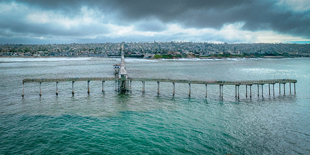
The 57 year-old Ocean Beach Pier in San Diego, California has been closed since October 2023 after a series of storms damaged it significantly.
One pillar is missing,
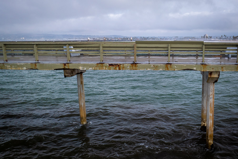
railings are broken,
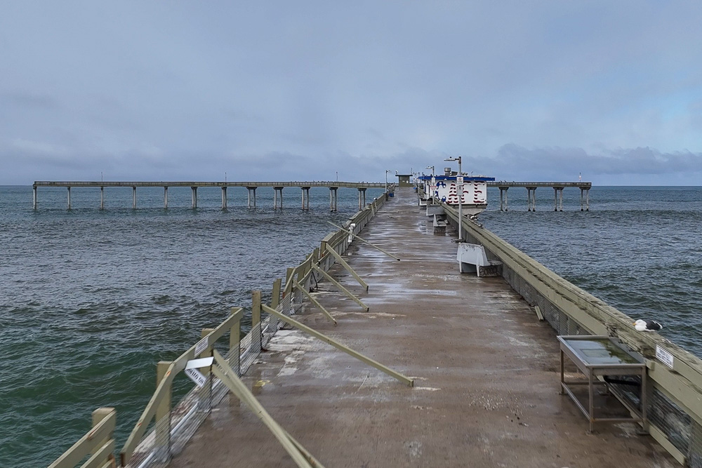
and floor plates which connects parts of the pier are loose.
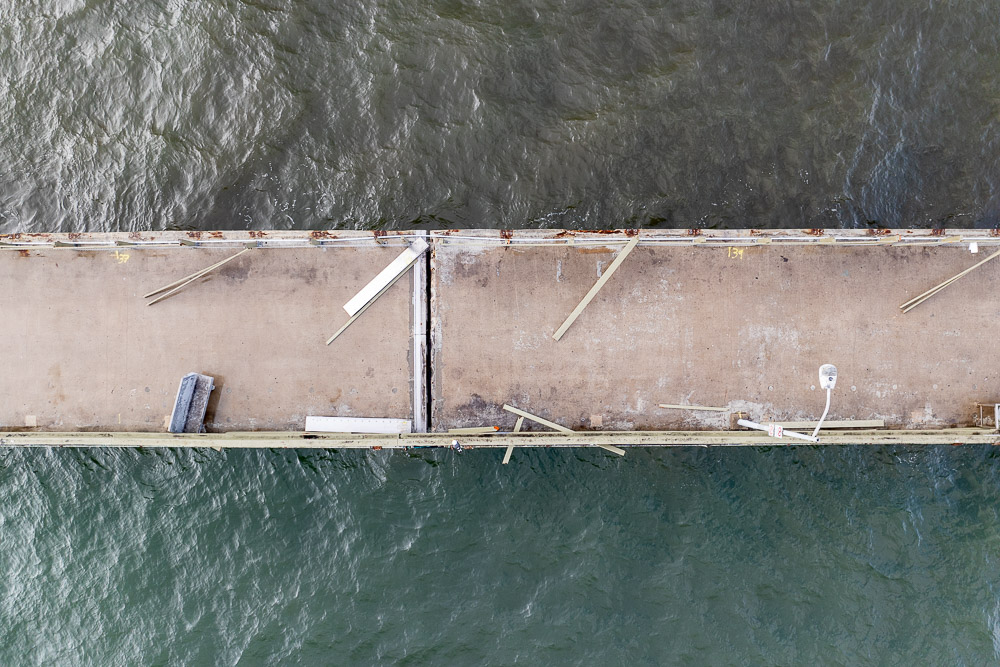
The news is that the pier is going to be replaced and a new design has already been circulated. With many committees involved it probably is going to take years, even till the pier is going to be demolished.
So before the pier is gone I wanted to capture it. Not only did I want to take several shots of it from a variety of perspectives with my drone, I was curious if I could capture it in very high detail viewed directly from above.
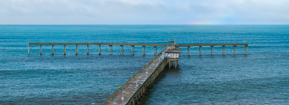
The pier extends 1971 feet into the ocean. The wide-angle lens on my drone has a field of view angle of 82 degrees. That means I’d have to be at an altitude of about 2300 feet with some room to spare to capture it fully in one shot.
The maximum legal altitude of a drone away from airports is 400 feet. But because the pier is more or less in the flight path of San Diego’s airport, a drone’s maximum legal altitude here is only 50 feet.
This is what the pier looks like from 50 feet:
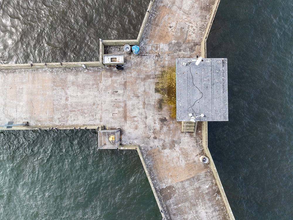
Which is of course a tad short of the whole thing.
Therefore I captured 77 photos of the pier and 31 photos of the nearby coast and stitched them all together.

But now I only had the pier and the nearby coastline. I also wanted the ocean in the picture and more of the land of Ocean Beach as the pier starts further inland, plus the coast curves towards the ocean south of the pier.
I could have captured the ocean around the pier using the same strategy I captured the pier with, but that would mean hundreds more photos which are difficult to stitch together because of the constant motion of the ocean.
Instead, I went to Pacific Beach near the Crystal Pier where a drone can go up to 400 feet.
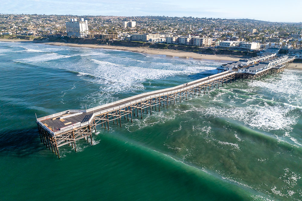
Here, I captured the ocean in 22 photos from an altitude of around 200 feet. Stitching these by hand was feasible:

and stuck those images under the Ocean Beach Pier.

But the image is not complete yet: I still had big gaps of Ocean Beach itself. Google Maps or Google Earth is too low resolution to fill in these gaps and I didn’t want to fly my drone above houses and streets at the low altitude of 50 feet.
So I filled in these spots with the help of Photoshop’s Generative Fill, my drone photos from elsewhere and digital painting, and let myself guide by satellite photos from Google Maps:
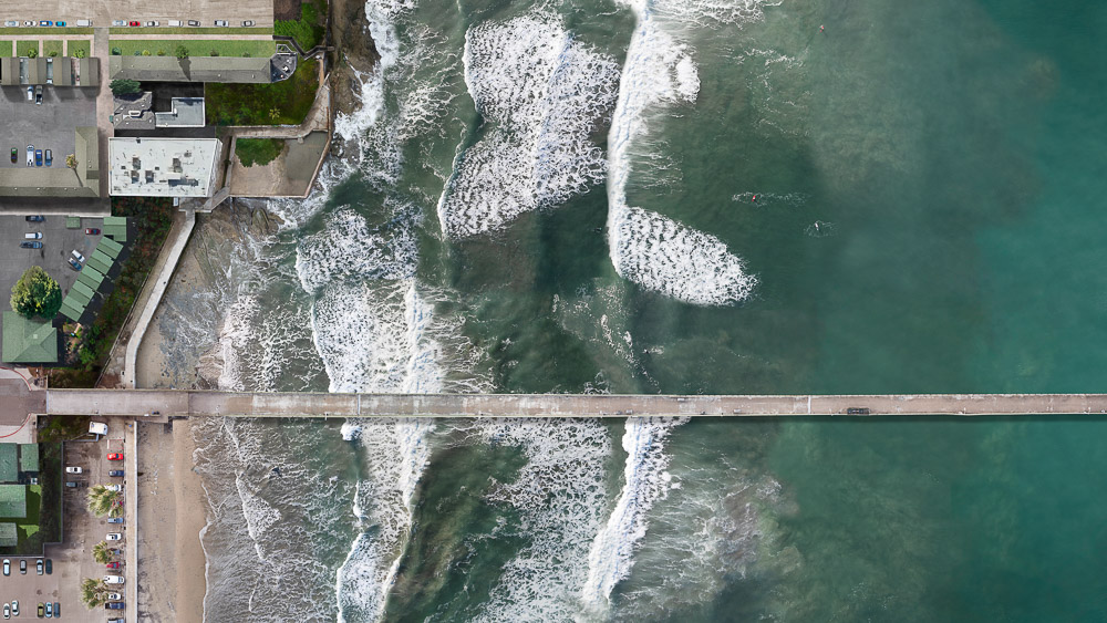
Now I had a very high resolution image of a damaged and abandoned pier. That is, without people. The pier was full of pigeons, seagulls, cormorants and pelicans.
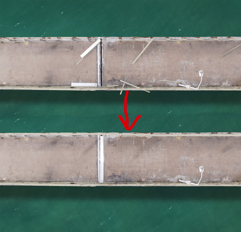
To bring the pier back to life I cleaned up the boards of the railings that were scattered throughout, put back floor panels that were moved by the storm,
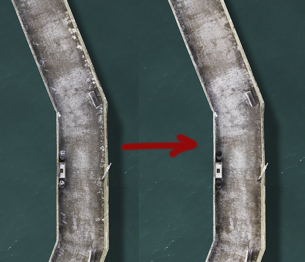
cleaned up the bird poop,
straightened benches, opened the gates and above all, added people all over the pier which included women, men, children, photographers (guess who?) and fisherwomen and - men.
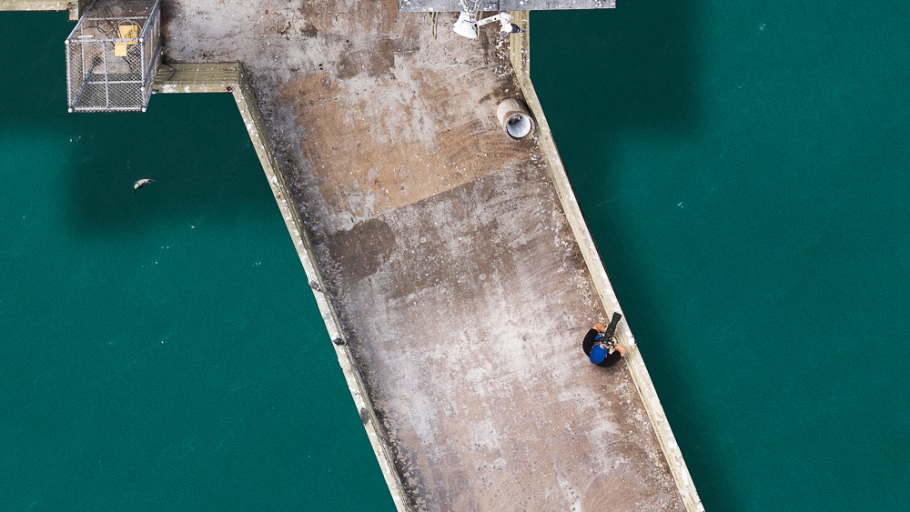
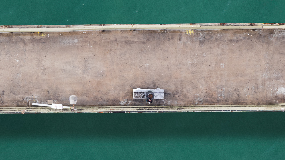
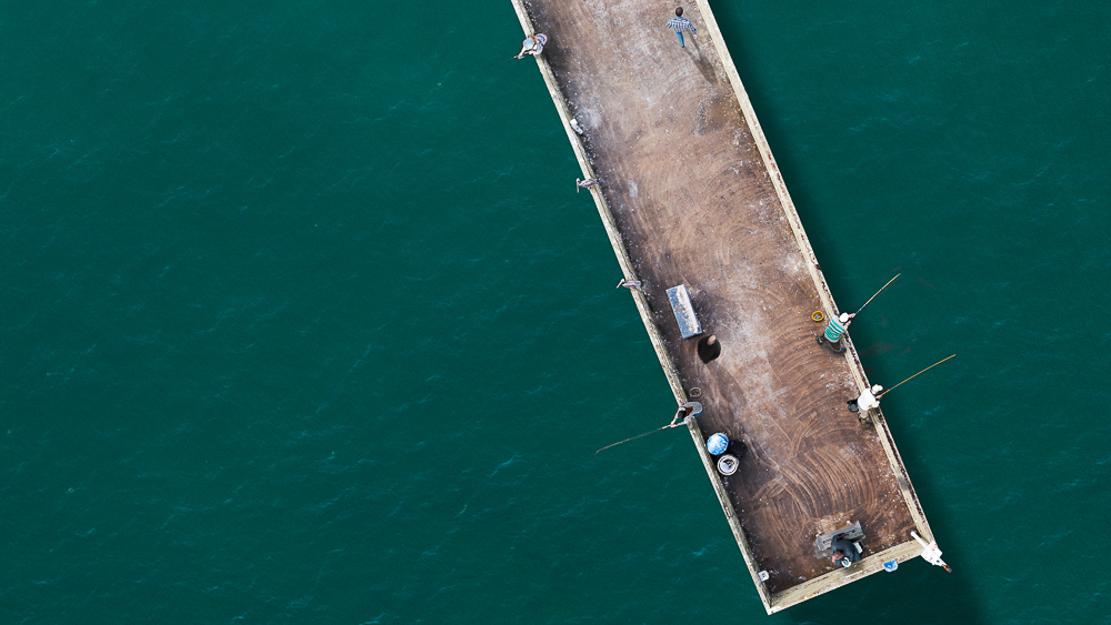
This image contains 4.7 billion pixels, which means it can be printed 74 feet long (on wall paper) without loss of detail.
Here is the final full view:

On my YouTube channel you can see a short video of this project.

