Blog
- Details
9. Maui's steep cliffs on the way to Haleakalā National Park
Hawaii 2021
Day 9
Today we got up relatively early again, so we would arrive not too late at the Pīpīwai Trail in Haleakalā National Park. Because of COVID this part of the park is only open between 9am and 5pm. After that, the plan was to drive to the top of the mountain at Red Hill to see the sunset. I googled directions to the Kīpahulu Visitor Center where the parking lot is. It was a 2:30 hour drive but only 77 miles. Looking at the suggested directions on the map, parts of the route looked very winding.

Parts of the route we had driven several times already but after about an hour we hit new territory and starting going uphill. Now I understood why it was going to take so long. The speed limit was mostly 25 mph, sometimes 20 and even 10 at very narrow passages. We stopped at a little park that had a view of Molokini, where we snorkeled at day 7.
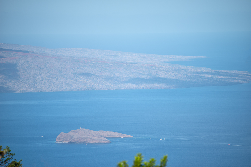
We took off again and the views were amazing. However, Kate started to feel car sick and asked if we could pull over again. We stopped at a spot with another great ocean and islands view. Animal bones were scattered, well no, placed on rocks here. From now on Kate rode in the front and that helped a bit.

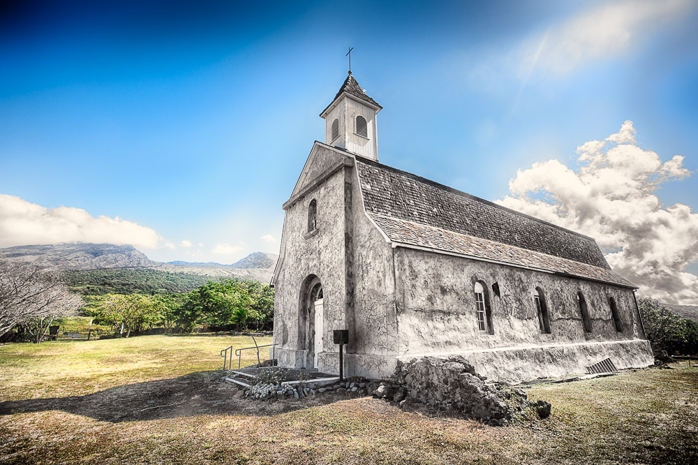
We stopped again at a few places, and one of them was the cutest little church in the middle of nowhere, called St Joseph Church. We walked around a bit and I took some photos of the area.
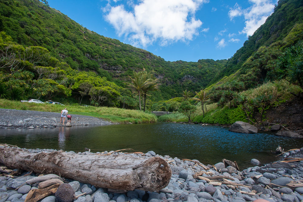
The road went from paved and two lanes to pretty much one and a half lane to unpaved and rocky. On our left side were towering cliffs and on our right a sheer cliff going straight down. Marie didn’t want to look outside. Now I was doubting if this was the right way. Google probably showed us the fastest, but not necessarily the shortest (or safest) way. We stopped at the end of a super green canyon with a black beach at the ocean. Palm trees with coconuts lined parts of a little pond that was separated from the ocean by a mound of pebbles. A Mercedes Sprinter van approached from where we came from with a line of cars behind it. I couldn’t believe a Sprinter could drive here. When that caravan passed we also hit the road again. There was no reception here but from the last time we did I guessed it was only a couple more miles.
We arrived at the National park booth at 11am, a three and a half our drive (yes we did stop a lot, but that was worth it).
We didn’t bring any food, but did have two water bottles with us. The booth lady said there was no food service in the park. We parked at the visitor center and started our hike at the Pīpīwai Trail. It was a two mile uphill strenuous walk to the Waimoku Falls, with the entrance to the bamboo forest at about halfway.
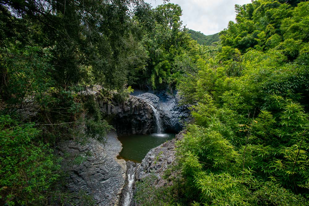
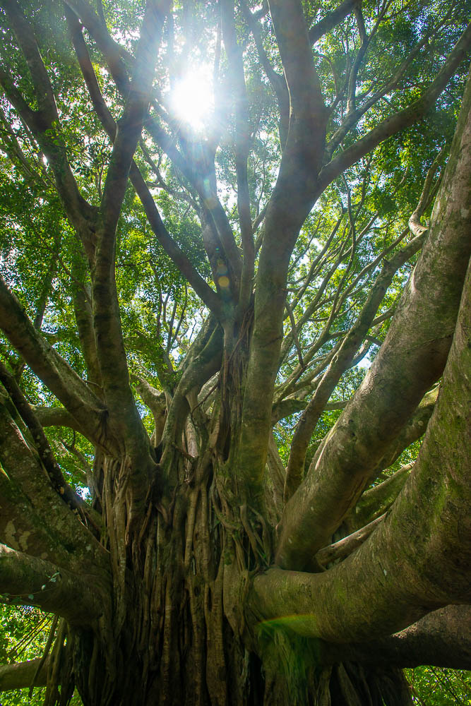
Initially we were just going for the bamboo forest, but when we got to there we continued for the falls. We passed a beautiful big Banyard tree on the way. It was not an easy climb and I said “I think we are going to die here”, to which Kate replied: “Daddy, if you don’t like dying, we can always go back”.
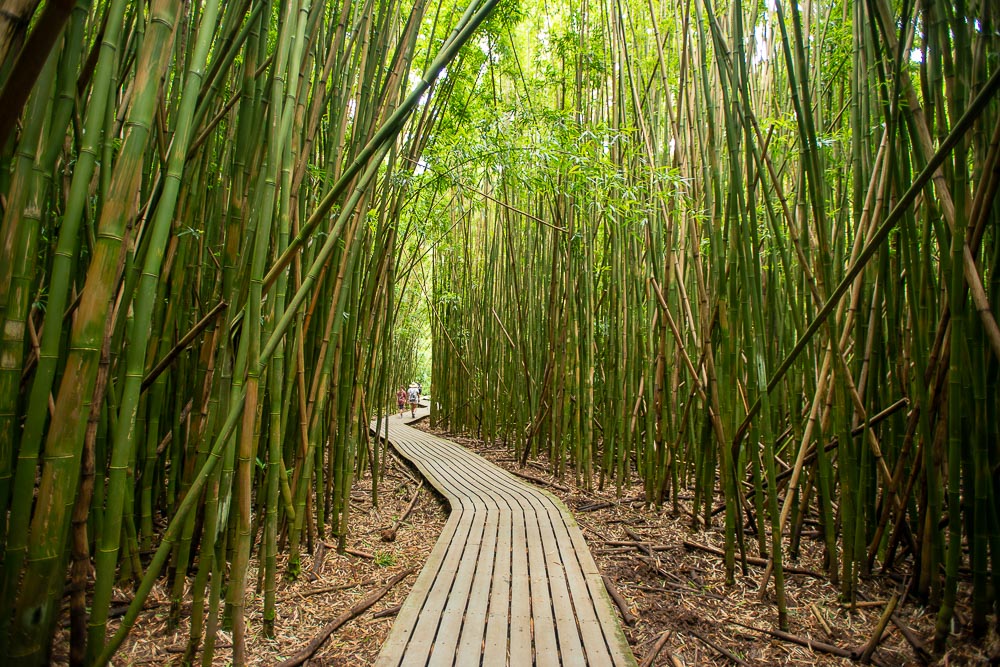
The bamboo forest was very pretty, although also controversial as I had just read that bamboo is considered an invasive species here. The rustling of the leaves and the clacking of the sticks touching each other added to the experience.
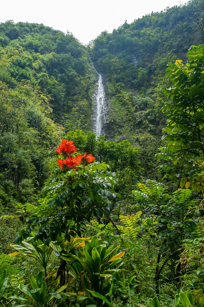
The Waimoku Falls at the end of the trail were also spectacular and I took some photos and videos trying to get some red flowers in there as well.
Marie and Kate were wearing shoes and I was wearing flip flops. It was fine, but I don’t recommend it. All our water was gone by then. We started heading back. Kate said she had a few landmarks in her head that helped her knowing how far we had to go: “the bridges, the big tree, the sign that said “don’t leave for the trail after 3pm, because you won’t make it back before the park closes”, and the road”. The hike back was pretty uneventful and fast for Kate and I. We had gone ahead.
At the water bottle fill station we filled our water bottles. Marie showed up showing pain in her face. She said she had twisted her ankle, needed water and needed to put her leg up. After she drank some, I gave her the car keys and she walked to the car with Kate. I went to the visitor center and asked the ranger if there is another way out. He asked if we had come in on a narrow unpaved rocky road, which I confirmed. “Oh, he said, you came in the back way, now you’ve already seen much of the island”. There was still no reception so we just started driving north east as there was only one “main” road. This (paved) road was still narrow at lots of places, but yield signs were placed at the narrowest spots so cars already there could pass easily. We stopped at “Tony’s Place Hana” and ate lunch.
This route was also beautiful, with lots of green, big trees, ocean views, cliffs and water falls on the way. Kate recorded some videos with the GoPro from the open window. We ditched the idea of driving to the top of the mountain. We were all too tired. We stopped at the Ho'okipa Lookout where we considered driving back to the hotel on the north side of the western part of Maui, but that was another 2 hours, whereas going the normal way at the south end was only one. That means when we got to the point where we entered “new territory” in the morning, it took us about 6.5 hours to drive counter-clockwise around the eastern part of Maui. For 110 miles that is at about 16.9 miles per hour, but with plenty of short stops (not counting the big hike).
This was our last full day on Maui. The next day we headed back to the airport which was also quite the experience. It was so busy that the security line wound back and forth many times. Fortunately we made it all on time and headed back to San Diego with another load of great memories.

